
RPI architecture class reimagines Troy underpass
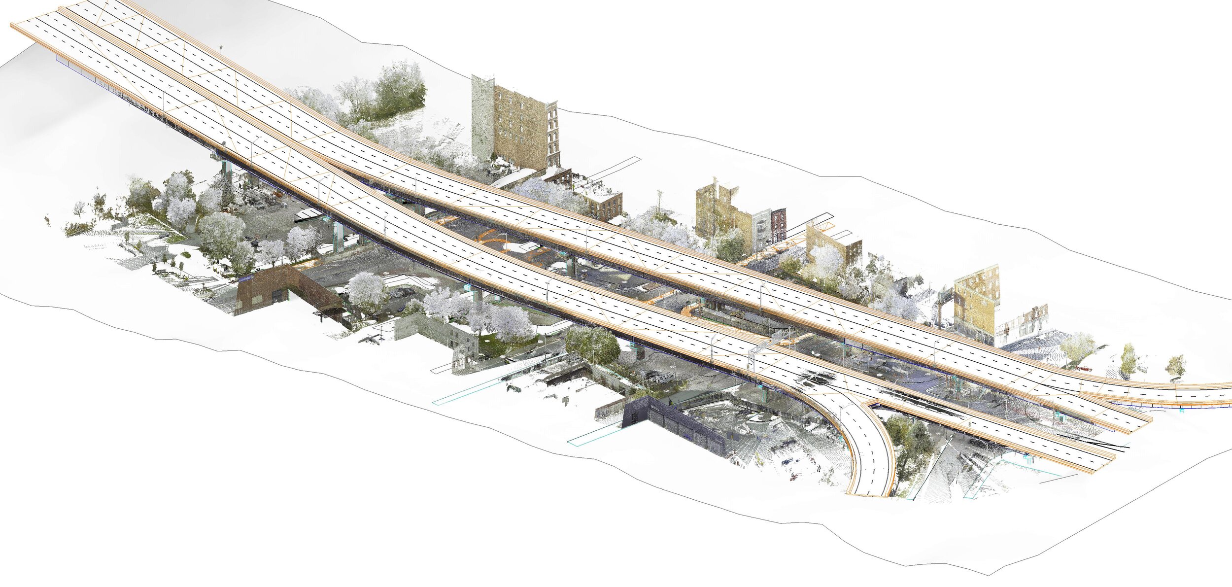


These LIDAR scans of the Hoosick St./River St. underpass were commissioned from Scan2Plan to be used in Professor Michael Oatman's "Monument3" architecture studio at RPI's School of Architecture.
The high tech mapping of the space was funded by the Arts Center of the Capital Region and Oatman's class, in advance of the UNITING LINE competition that will be jointly announced by TAP and the ACCR later this year. With many students working remotely, Oatman wanted to give each student—especially those not physically in Troy‚ full access to the site with a robust 3-D model, accurate to 1/8".
Long a contested site, the students are envisioning various 'underparks' that could make the intersection safer, more welcoming and even a tourist destination. In addition to transforming the spaces physically, each team of students has imagined a kind of memorial program, that critically looks at the process of remembrance via architecture. The four memorials are to: the original indigenous stewards of Troy's pre-colonial land; Troy's history of unclaimed dead; victims of mass incarceration, and Troy's marginalized and underrepresented citizens.