Community Map and Urban Room Redesign Plans Unveiled at PSNNC!
The 3D Community Map Table was unveiled at the PSNNC.
Last night at the Pleasant Area Community Team (PACT) meeting at the Pleasant Street Neighborhood Network Center (PSNNC) in Worcester, MassDevelopment’s TDI and the Future of Small Cities unveiled a few exciting items, including the new Pleasant Street neighborhood logo, the new Urban Room redesign plans for the PSNNC to revamp the center a dynamic, flexible and welcoming community space, and a Community Map Table, which will serve as the first installation in the new Urban Room. Read on to find out more!
TDI Senior Fellow Ivette Olmeda unveiled Pleasant Street’s new branding campaign.
Ivette Olmeda of MassDevelopment’s TDI showed off the new Pleasant Street logo, designed by Proverb, which includes lots of fun swag like t-shirts and hats and will soon be put on pole banners along the street.

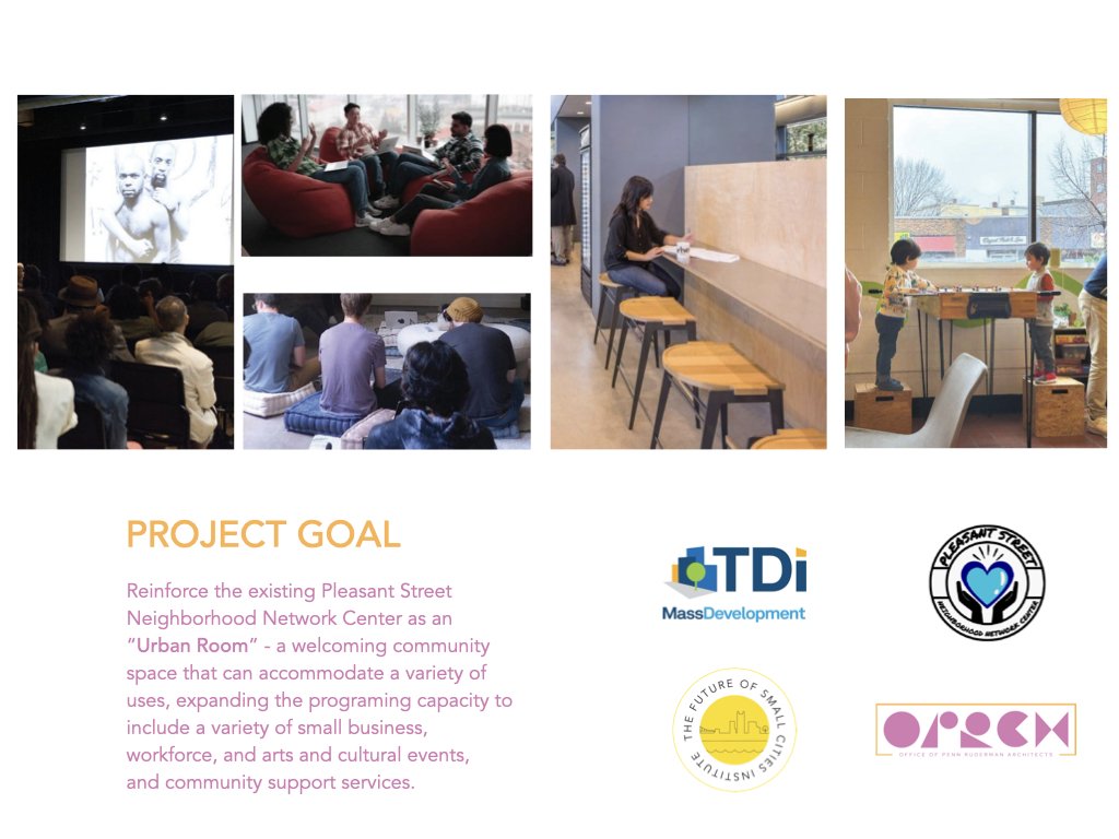
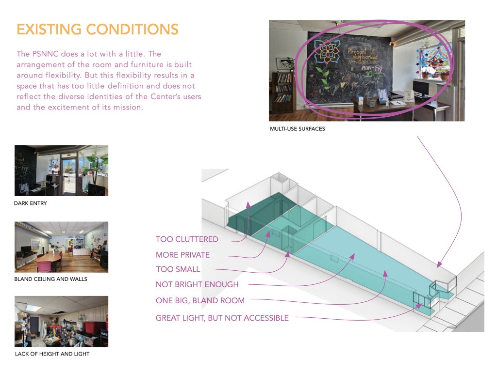
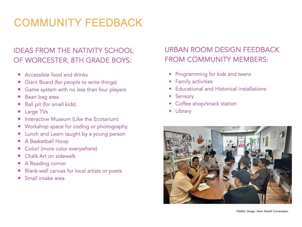
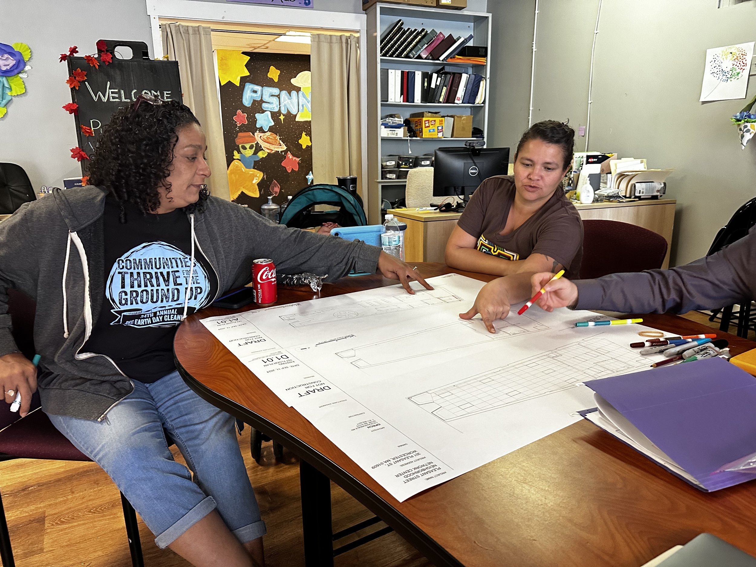
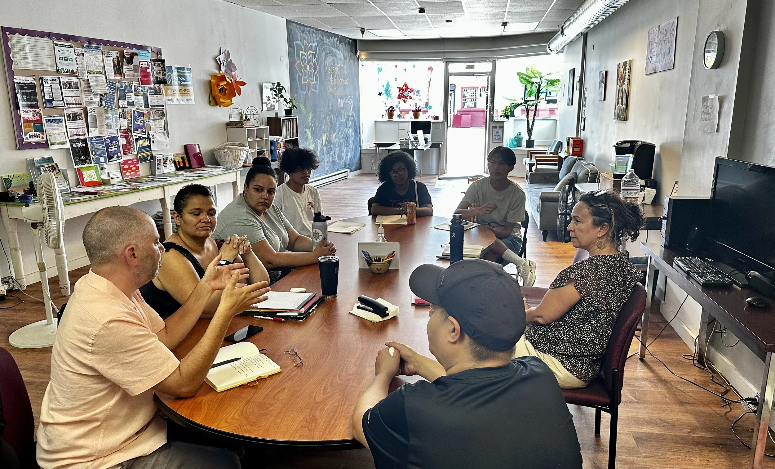
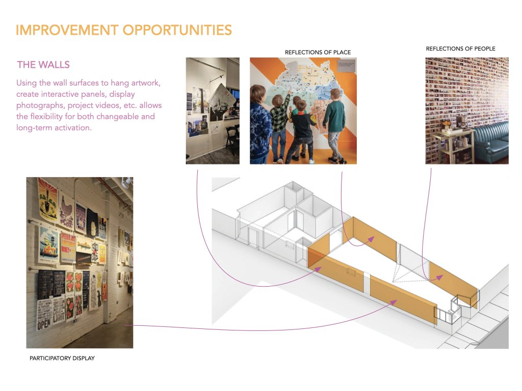
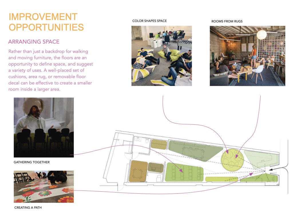
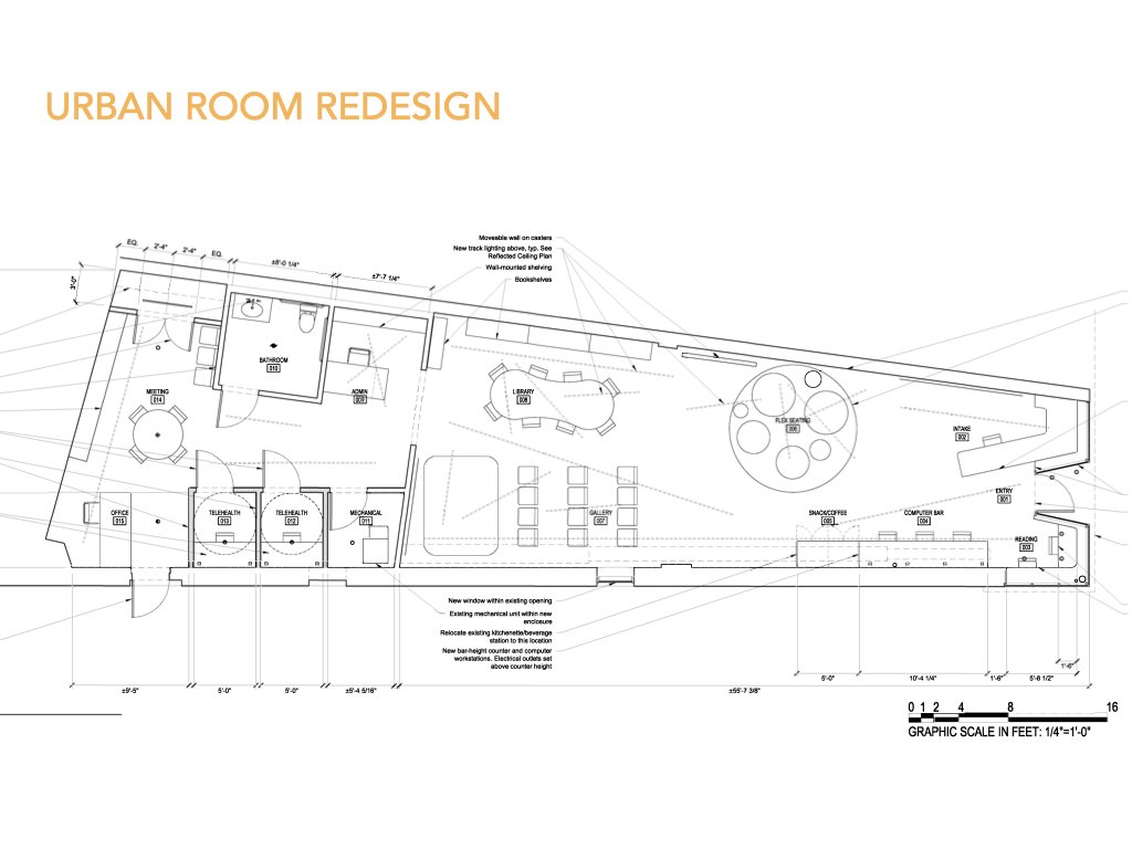
Slides showing the Community Design Process of creating an Urban Room redesign at the PSNNC. (Slides and design developed by Penn Ruderman.)
Reif Larsen of The Future of Small Cities gave a short presentation on the new Urban Room redesign plans, highlighting the community design team process with architect Penn Ruderman, which gathered feedback from the community, surveyed existing conditions for the net work center, and then developed a new redesign for the space. This revamp, supported by TDI Equity funds, will add critical items like a fully working bathroom, an ADA accessible doorway, as well as telehealth privacy pods. More holistically, the redesign will adjust the lighting, color scheme, and flow of the space. The redesign will enhance the flexibility and usability of the front common room by breaking the room into different zones, including a computer bar, refreshment station, a young people’s area, a library, and a event area with projection capabilities. The redesign also offers three separate admin desks with graduating levels of privacy. Construction work is scheduled to commence in November.
The Community Map Table is unveiled to the community at the PACT meeting on Thursday, October 3 at PSNNC
Finally, the PACT meeting served as the unveiling for the Community Map Table, a collaborative project between the Future of Small Cities, TDI, the City of Worcester, Clark University, and the Technocopia maker space, where the map was fabricated. This Map Table is a powerful 3D storytelling device that allows community members to revision their neighborhood through a series of revealing maps, including environmental justice maps, maps of ethnicity and race, rent vs owner-occupied maps, tree maps, maps of historical sites, redlining maps, neighborhood investment maps, and bike-lane maps.
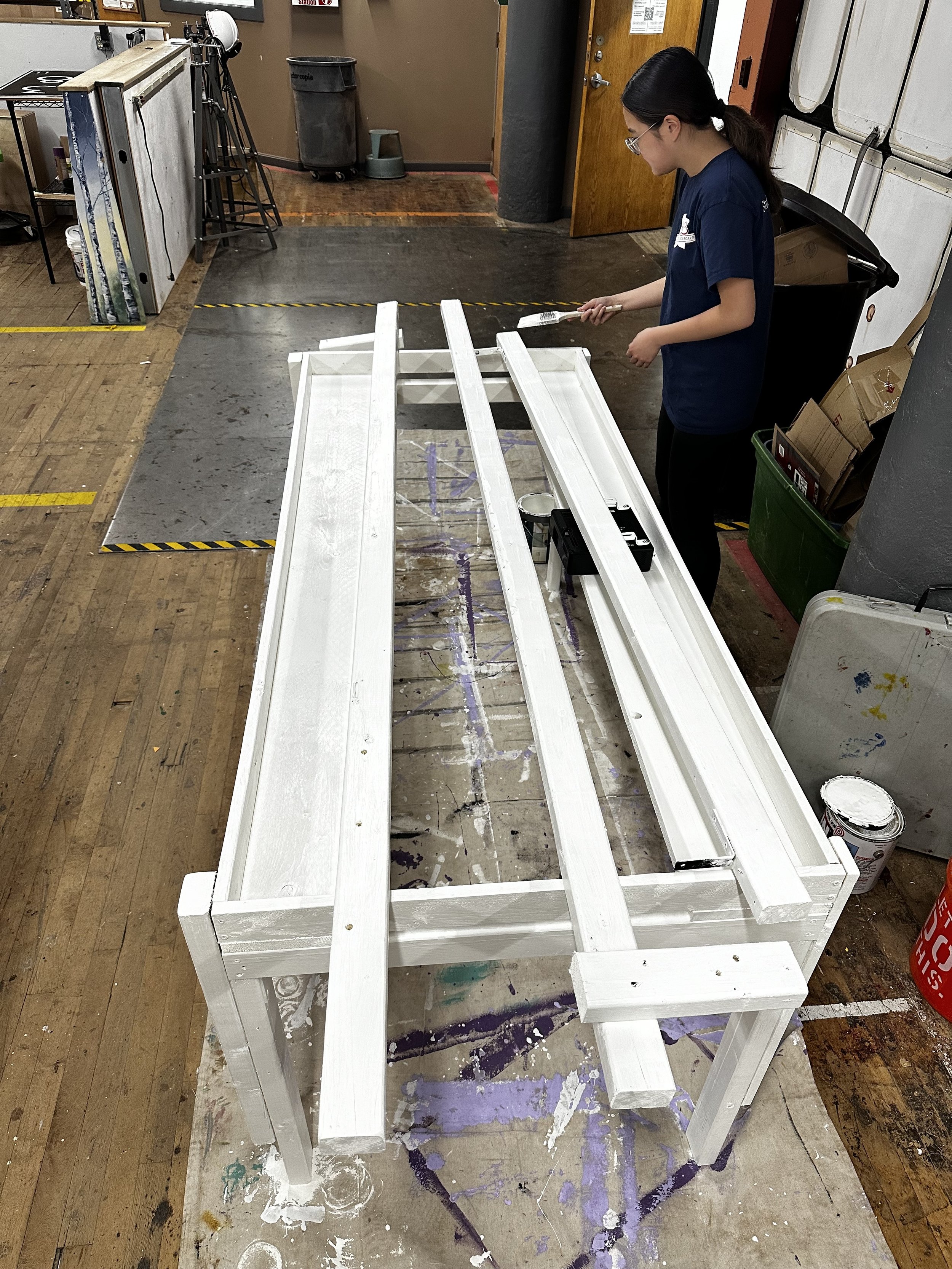


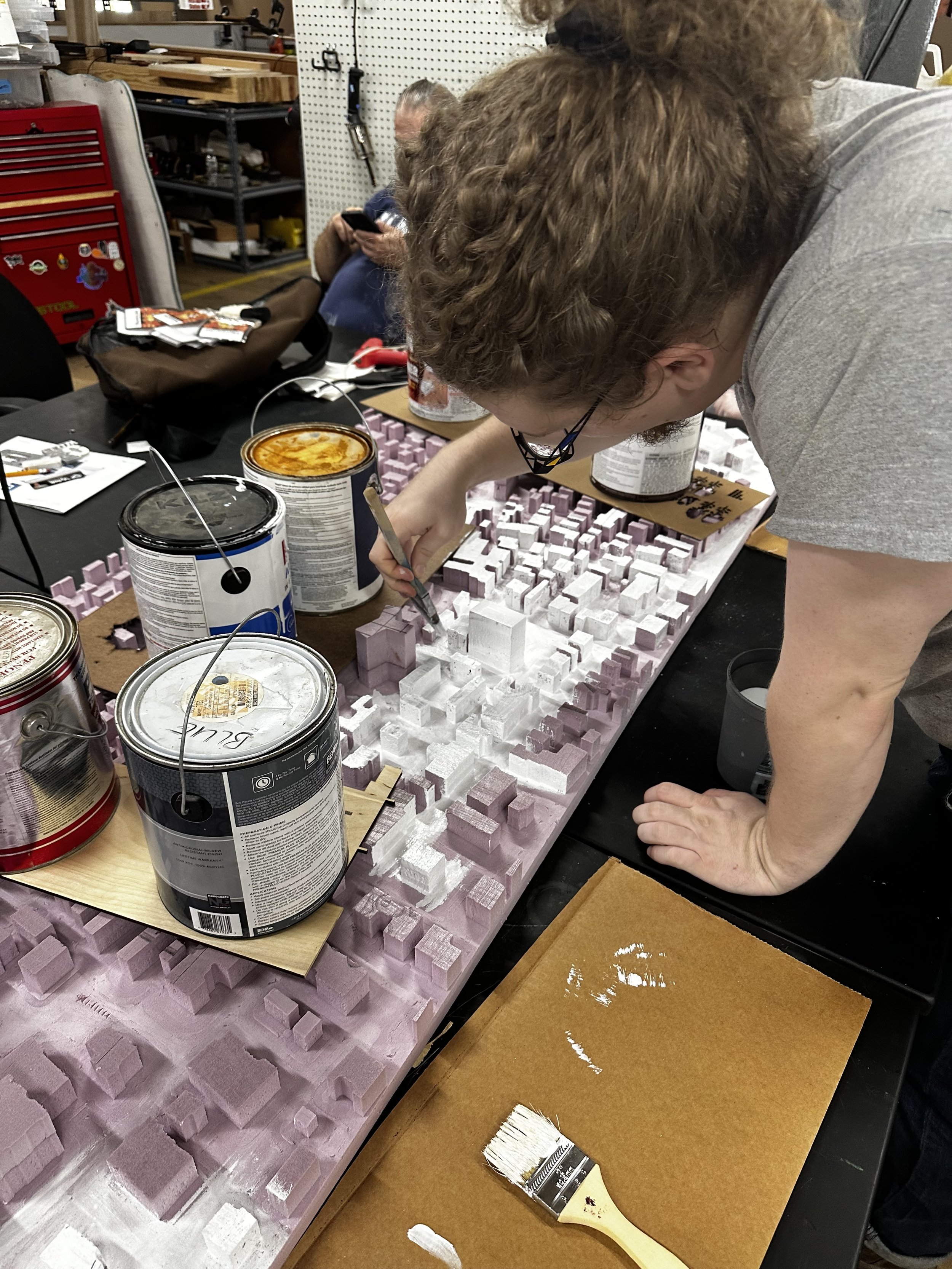


Creating the community map at Technocopia maker space with assistance from shop technician Riley Petit.
Angela Ruan, an intern from Clark University, helped build the map and said a few words about the experience and everything she learned about working with data in the neighborhood. The Community Map will be housed at the PSSNC, and new maps will be developed in real time based off of community input. This will be the first in a series of civic installations which will educate and inform community members about how their city works and the ways they can affect change in Pleasant Street and beyond.


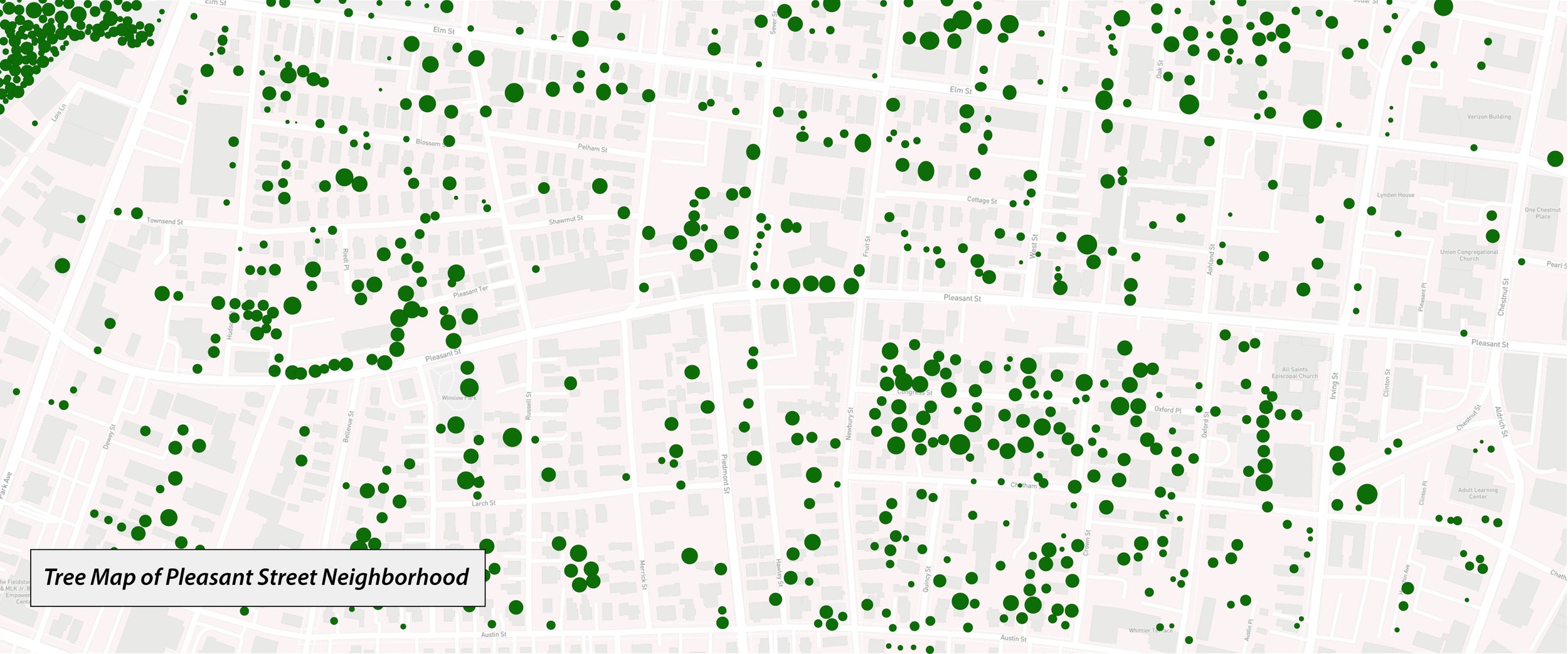


The series of neighborhood maps projected onto the Pleasant Street Community Map Table.


